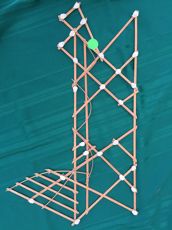
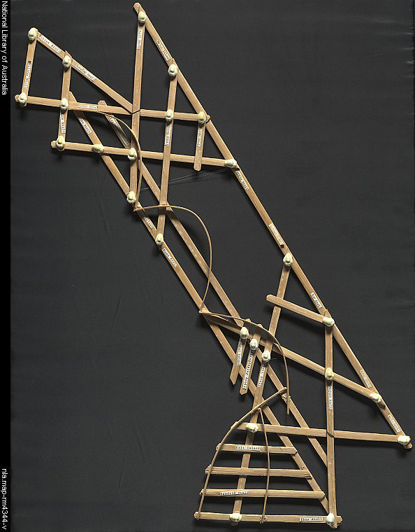
I saw this stick chart at a garage sale a couple of weekends ago. The round green sticker on it said $50. The owner said that she bought it when she was living in Guam awhile back. She was kind enough to let me take a picture.
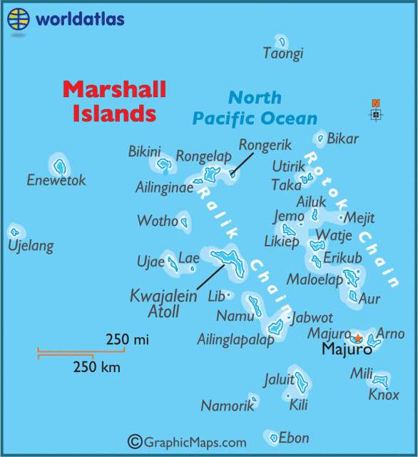
I knew that it was some kind of ocean navigational thing that the early Polynesians used, but I wondered if I could find the exact location that the chart represented. As soon as I got home . . . okay not AS SOON as I got home . . . when I had time, I went searching online.

The stick charts are a significant contribution to the history of cartography because they represent a system of mapping ocean swells, which was never before accomplished. They also use different materials from those common in other parts of the world. They are an indication that ancient maps may have looked very different, and encoded different features from the earth, than the maps we use today.
The charts, unlike traditional maps, were studied and memorized prior to a voyage and were not consulted during a trip, as compared to traditional navigation techniques where consultation of a map is frequent and points and courses are plotted out both before and during navigation. Marshallese navigators used their senses and memory to guide them on voyages by crouching down or lying prone in the canoe to feel how the canoe was being pitched and rolled by underlying swells.


8 comments:
that is so cool!
Too cool!
Neato!
ho da neeet!
pretty neat stuff!
So interesting yah, Kat!
I agree, Susie.
Pretty amazing stuff to me, Aunty!
LOL, Les!
So unreal those navigators, Dean!
Brilliant! I didn't realize they cost that much though.
Thanks to my father who stated to me on the topic of this weblog, this weblog is truly remarkable.
Post a Comment